
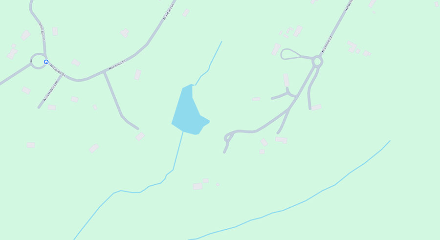
We often wondered why …… on Google Maps ( and some others ) there was supposedly a lake at the back end of the property. I also wondered while researching this why the satellite image quality of the ’80s and ’90s differed compared to other periods in history.Seems budget cuts to the aerial programs in the late 70’s led to higher flights, to take fewer photos but cover more land. Mostly to reduce fuel costs. That was the case for most aerial photography that was government-sourced from the 80’s through the early 2000’s. The 90s typically being the worst, but the 80s weren’t much better and tend to be a bit softer looking. Anyway, still today (in 2024 ) the lake shows up in Google maps. It makes you wonder how often they update the cartography side of things since the lake “disappeared” sometime between 1982 and 1987. |
|
|
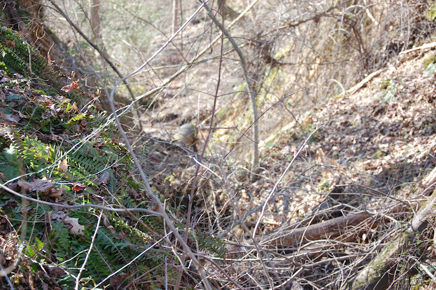
This photo depicts the noticeable void in the area where the dam used to be located. It can be inferred that the dam was situated in this area. If you were to stand in the vicinity of the former base of the dam, you would likely be submerged in approximately 35 feet of water.
Please note that this estimation is not precise as I do not possess scientific expertise. |
|
|
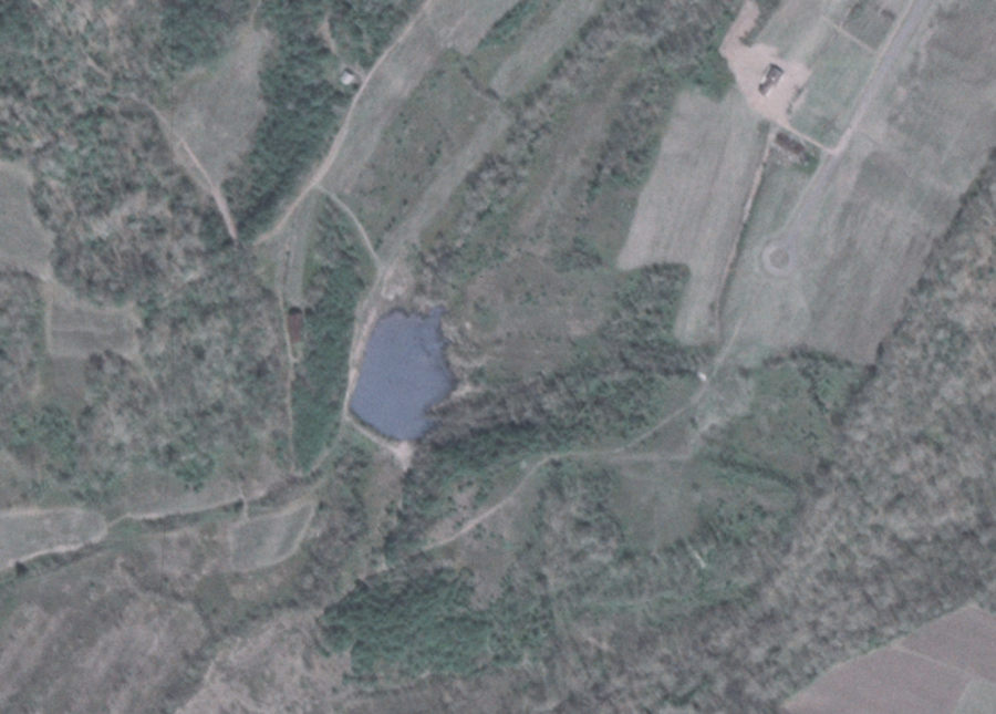
In 1981 the lake was visible in this satellite image.
There is a dirt road evident that crossed the damn at the time, and a dirt road that came down to the dam from Norwood Drive. In 1993, it was gone. We know, however, that according to residents who lived here in the hood back in 1987, the lake was gone then. By this time almost all the existing homes on the Court are underway or done. So we know whatever happened to the damn must have occurred between 1982 and 1987. |
|
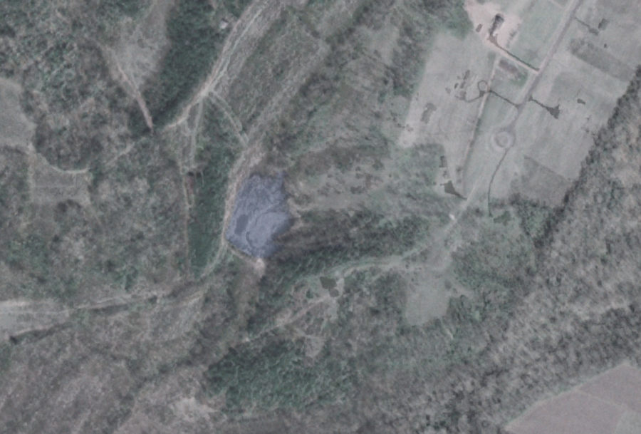
| By overlaying the 1993 image on top of the 1981 image, we can determine its precise location. It’s fascinating to see that in 1981, there were only a few houses in the area, with just one on Norwood Court. |
|